Two years of constant effort by Facebook has built the Mapping tool for helping the Humanitarian OpenStreetMap Team.
Now mapping the world has become comparatively easy. Thanks to Facebook for putting vigorous effort in developing a bunch of AI-powered tool for creating such a map. The company has named this tool as a Map with AI.
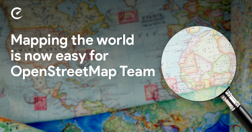
Facebook has spent almost two years to develop this tool, particularly for humanitarian OpenStreetMap team members. All this is to help the team members to do mapping over the internet. This program’s most basic tool also known as RapidID helps in identifying, adding and editing roads in times of crunch situation.
Let’s find out how RapidID actually works?
Firstly satellite images are taken from a US-based company Maxar and using those images the AI tool further predicts the existence of unknown routes and depicts them on a map using magenta colour whereas the known routes are marked with white colour. The team member can further edit or remove the unknown route marked with magenta colour.
The AI tool studied road detection from the images made available by Maxar. After studying it thoroughly it further created DNN (deep neural network) of 34 layers so that it can easily identify the roads from the images available.
According to Danil Kirsanov, engineering manager of Facebook, this model is capable of detecting caliche- topped roads as well.
You will be glad to know that soon after the release of this tool it’s testing has already begun. Already 300,000 miles of areas in Thailand have been mapped which were never done before. Any misinterpretation by AI tool is corrected by the experts so that it can start functioning for effectively.
According to Facebook’s program manager looking after Maps and Location Infrastructure, proper usage of this Mapping can be advantageous for the country’s economic growth and also help in times of disaster of any kind.